
Educational Video 2209
Share
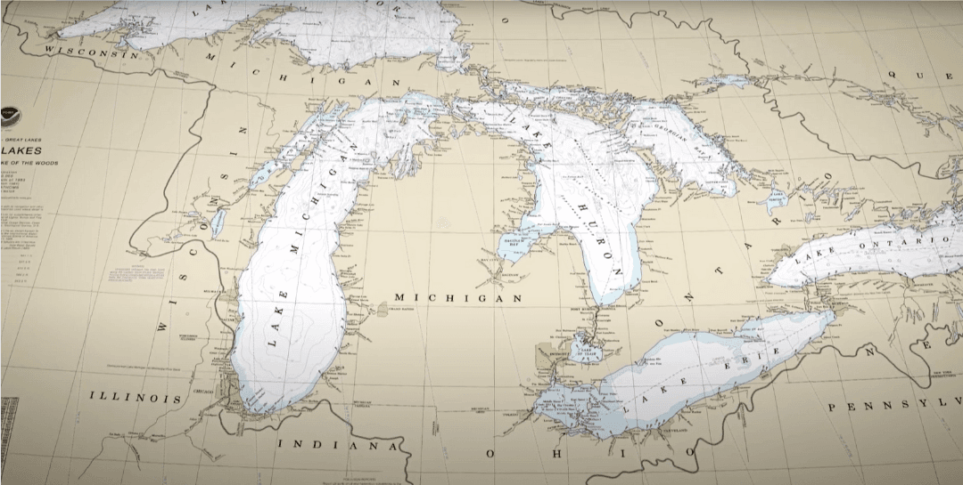
Mapping the Floor of the Great Lakes
Middle School
This lesson will explore the phenomenon of sound waves underwater used to map landforms and how modern technology is helping update the maps of the terrain beneath the Great Lakes. Students will learn about the history of mapping the lakebed and the SONAR technology used by NOAA to upgrade our maps.
 1 (1)")


